The Bhutanese Leading the way.
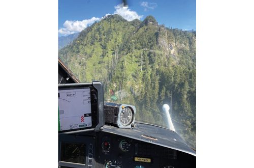
Bhutan always knew it had Tungsten, as earlier ground-based surveys had indicated the presence of the high-value metal in Dholpani and Bhurkhola in Sarpang, but this was a small area.
However, Bhutan’s first nationwide airborne geophysical survey has found that valuable mineral in a much wider area than previously identified.
This comes at a time when Tungsten is the best-performing critical mineral in 2026, seeing up to a 600% price rise from the 2024–25 baseline due to huge demand and also limited availability.
If ground validations prove the size and quality of the deposits, then Bhutan could become a major global player in this increasingly valuable critical mineral needed in everything from defence to semiconductors.
While mining officials will not reveal the quantity and quality, there is a glint in their eyes suggesting that Bhutan has struck big, and once validations are done, then it is only a matter of extracting this valuable global resource.
Copper
Bhutan also always knew it had copper. Earlier ground surveys showed possible deposits starting in Gongkhola, which is part of both Sarpang and Trongsa, and heading up to Surey, Reti, and into the Black Mountain areas of Trongsa.
Though this was the most promising metal in Bhutan, its presence was more a possibility and not much was known about the scale of the deposits. Again, the latest surveys show that copper in Bhutan could be present in a much wider and larger area than previously estimated. The signatures are quite strong and there could be a substantial find.
If validated on the ground, Bhutan could be sitting on mountains of copper.
The timing again is divine when there has been a huge international surge in the demand for the metal due to massive electrification and AI data-center build-ups.
Copper is also a metal that does not come alone as it is associated with Gold, while there are some indications further studies on the ground are needed to see if it is viable.
Rare Earth Minerals
It is not just Tungsten and Copper, but also possibly the much-in-demand Rare Earth Minerals.
The Department of Geology and Mines, under the Ministry of Energy and Natural Resources, said the interpretation resolved significant anomalies particularly favorable for copper and tungsten, alongside other rare earth elements, base and precious metals, and geothermal structures across terrain never before mapped in detail.
The survey also resolved granitic intrusions and carbonatite settings — the two rock types that host most of the world’s rare earth production. Rare earth elements concentrate in the most highly evolved magmas, which is why these settings are the conventional focus of rare earth exploration. On that basis, the Department has flagged rare earth potential for testing.
The government is taking the findings seriously enough, and already a budget has been set aside for ground validation surveys where various kinds of tests and sampling will be done to establish and confirm the finds.
PM says environmental standards will be a priority
The Prime Minister Dasho Tshering Tobgay said that priority will be given to Tungsten and Copper, which look promising.
The Prime Minister said, “The mining done at any point has to be in line with our environmental standards and must benefit the public. We will follow the principles of GNH and so any mining should not harm the environment, give people economic development and happiness, and be sustainable.”
A map, its potential and partners
“For fifty years we did not know what lay beneath us. This survey moves Bhutan from a position of searching to a position of knowing,” said Phuntsho Namgyal, Director General, Department of Geology and Mines.
The findings so far have given Bhutan enough confidence to even start looking at possible international investment.
“What the interpretation returned is substantial enough that we are not waiting — verification has already begun, funded from our own budget. Bhutan will potentially consider international partnership in developing these resources, and it will do so on terms set by Bhutan, after the evidence is complete and a national framework is in place,” said the DG.
Area covered and new dataset
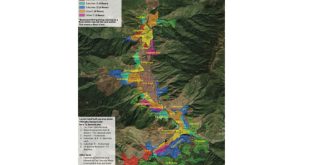
The survey covered approximately 15,410 sq. KM across the Lower Southern Belt and the Thimphu–Paro region.
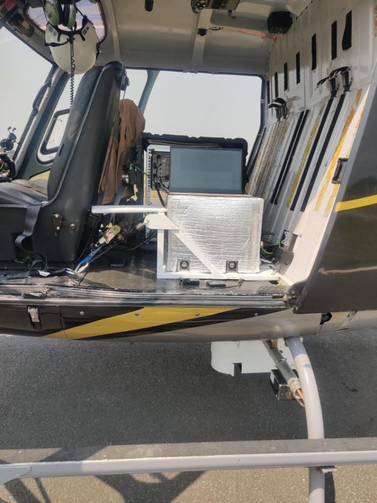
Two helicopters, operated by a global airborne geophysics specialist, completed over 43,000 line kilometers equipped with magnetic, gravity, and LiDAR sensors for high-resolution terrain modeling. Flights were maintained below 3,000 meters above sea level to ensure safe operational limits, navigate mountain terrain, and capture peak data resolution.
By leveraging modern sensor technology to overcome mountain constraints that had stalled systematic work since the 1970s, this campaign delivers the first modern geophysical dataset for this region of the eastern Himalayas.
Findings as international demand grows
The findings arrive as the requirement for critical metals for artificial intelligence reorders global materials demand.
Data centers, and the grid capacity required to power them, are copper-intensive at a scale not forecast a decade ago. Tungsten is used in semiconductor fabrication and in the precision tooling the industry depends on.
Rare earth elements are essential to the permanent magnets in cooling, storage, and power systems. Demand from the AI build-out now runs alongside, and increasingly competes with, the parallel requirements of the energy transition.
Supply has not kept pace with demand, with the production of key commodities facing severe limitations.
Tungsten and rare earth elements appear on the critical minerals lists of most major economies, and diversification of their supply has become an explicit industrial-policy and national-security objective.
The constraint is no longer purely geological: new sources situated in politically stable, credibly governed jurisdictions, free of legacy extractive liabilities, are structurally scarce.
“The interpretation gives us a defensible map of where to look, which is precisely what fifty years of not looking had denied us,” said Phuntsho Namgyal.
Forest cover to be protected
Bhutan’s constitution requires that no less than 60 percent of the country remain under forest cover in perpetuity, and the kingdom is one of a small number of carbon-negative states.
The Department was explicit that the survey represents no departure from that position. This exercise is, first and foremost, a quest for knowledge — to know what lies beneath.
Establishing what a country holds is not a decision to extract it, and the identification of these assets does not imply immediate development. Bhutan has chosen to understand its own resources before forming a policy on them rather than after.
Any future development would occur only if required, when the time is right, through a public process, and within the constitutional and environmental commitments already in force and the framework of Gross National Happiness, under which economic activity is subordinate to environmental integrity, cultural continuity, and national wellbeing.
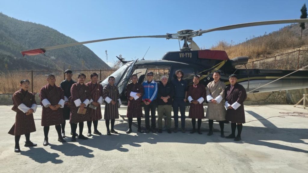
Survey team
Survey Tech
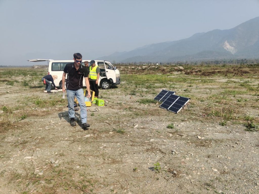
Aircraft-mounted sensors record variations in the earth’s magnetic and gravitational fields. Magnetic data reveals subsurface rock structure, the distribution of iron-bearing minerals, and deep fault systems.
Gravity data reveals contrasts in rock density, which distinguishes rock types at depth and helps define the geometry of buried bodies. Together they produce a coherent subsurface model over terrain that cannot practically be mapped from the ground.
LiDAR was flown alongside the geophysical sensors to generate high-resolution digital elevation models and orthophotos, which provide the surface framework against which the subsurface data is interpreted.
How rare earth potential was inferred
Magnetic and gravity methods resolve intrusive bodies, which differ in density and magnetic character from surrounding rock. Granitic intrusions typically register as gravity lows; carbonatites — carbonate-rich igneous rocks — commonly produce distinctive magnetic and gravity signatures, and an airborne survey is a standard method for locating them.
These two rock types host most of the world’s rare earth production because rare earth elements are incompatible: as a magma crystallizes, they concentrate in the residual melt, so the most highly evolved magmas are where enrichment occurs.
Identifying such bodies is the conventional first step in rare earth exploration. What geophysics cannot do is establish whether a given body is enriched; that is determined by petrography and geochemistry.
Rare earth potential here is an inference from rock type and setting, and the geochemical program now underway is designed to test it. No rare earth element has been measured.
Anomaly is not a resource
An anomaly is a measured departure from background geophysical values. It identifies where the subsurface differs from its surroundings, but not the cause of the difference, its grade, its quantity, or its depth.
Confirmation requires geochemical sampling, ground geophysics, precision mapping, and ultimately drilling and assay. Currently, Bhutan has made no resource estimate and no economic assessment.